 Mobile
 PC
PC
 Full-Cycle
 Co-Development
 Outstaffing
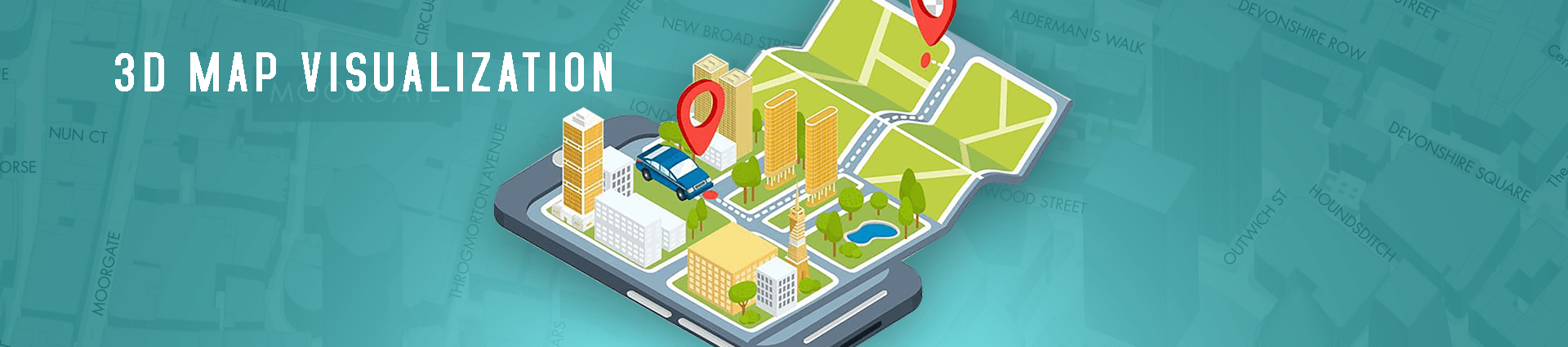
How 3D Map Visualization Is Used in GPS Application?
At present, smartphones are no more a hype, neither are they sparsely used. With its recognized popularity, location-based GPS services that users frequently bombard their mobiles have an extended 3D application that improves experience and satisfaction and is hardware free. Till date, 2D GPS systems were common and even though its limitations weren’t overly inconvenient, the advent of 3D assessment and services were definitely pleasingly convenient.
3D models and display used in personal navigation and services is a move towards development and user aesthetic satisfaction. On the contrary, smartphones are not a preference, the introduction of 3D mapping on these devices are comparatively recent, PC’s and desktop computers are fairly familiar with apps such as Google Earth 3D. The computing power consumed by 3D applications on larger PC devices is far from moderate and the task of applying 3D visualization to embedded smaller screen systems is an ongoing challenge. Yet, cultivators of the idea have delivered a basic functional outline of the visualization:
- Personalized location based services and navigation through a 3 dimensional view
- City modelling and display 3 Dimensionally
- The positioning of the various directional faculties on a multi-dimensional level
The next concept to refer to is the positioning of GPS displays and it’s effectiveness and mechanisms when shifting to a 3D based foundation. The zonal view of GPS location display is generally looked upon as terrains and a model that underlines its performance through this view is the digital Elevation Model, connecting various 3 Dimensional points to create a singular terrain. Movement of 2D planar figures through a 3D environment can create similar effects and realistic portrayals.
The Involvement of A Gaming Engine: Unity 3 D Game Engine and Its Effectiveness
A study was conducted by Mohd Hafiz and Dr. Ruzinooe Che to test the effectiveness of 3D dynamic display of terrain in an online environment using a UAV through a unity3D game development engine. Visualizing terrains have used the online world as its a preliminary platform for scaling advancements.
The study’s main platform of choice being the Unity 3D game engine due it’s multi platform launching ability was scored and ranked based on the size of data, total loading speed and quality of visualization. The intention behind using a 3D view was to create a more detailed and refined view and by culminating a game engine revealed a very clear and acceptable visualization.
Results revealed that the general outline and view disclosure had an appreciable quality at a specific measurable distance(7m), large file size capacity (1m) and an impeccable and fast loading time at 5m. Hence, the results corresponded with the conclusion that the multiple platform assessment and recordable capability of the Unity 3D game engine allows the possibility of drawing comparisons of the 3D performance of GPS image retention at various distances thereby allowing a distance based effectiveness of data.
Get In Touch
Recent Posts
- Top 5 Console Game Development Companies in 2026: Xbox, PlayStation, and Switch Leaders Compared
- 3D Game Art Outsourcing in 2026: Costs, Execution Models, & Partner Evaluation Explained
- Outsourcing Game Art in 2026: Models, Costs, and Risks
- Top 5 Game Art Outsourcing Companies in 2026: Global Studios Compared
- Top 10 Game Development Companies in Gurgaon (Gurugram)
- Top Game Development Companies in 2026: 10 Global Leaders Compared
- Top 5 PC Game Development Companies in 2026 (Desktop Studios Reviewed)
- Best Game Development Companies in India [2026]: Reviewed & Compared
- Top 10 Game Development Companies in USA (2026 Update)
- Top 10 AAA Game Development Companies in 2026: Global Studios Reviewed and Compared